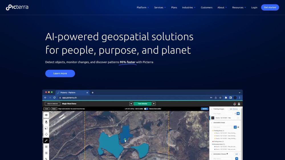
Picterra: AI Tool for Geospatial Solutions
Picterra is an innovative AI tool designed to provide faster geospatial solutions. With Picterra, users can easily train, deploy, and manage machine learning models for detecting objects, monitoring changes, and discovering patterns in satellite, drone, and aerial imagery. Leveraging the power of artificial intelligence, Picterra offers a 95% faster solution compared to traditional methods.
How to Use Picterra?
Picterra's cloud-native AI platform revolutionizes geospatial workflows, enabling users to detect objects faster and drive sustainable action. The platform provides a comprehensive set of tools for imagery sourcing and processing, detector training support, change detection, tracking, monitoring, and customizable dashboards and results. With Picterra, optimizing geospatial workflows has never been easier.