FAQ from Picterra
What is Picterra?
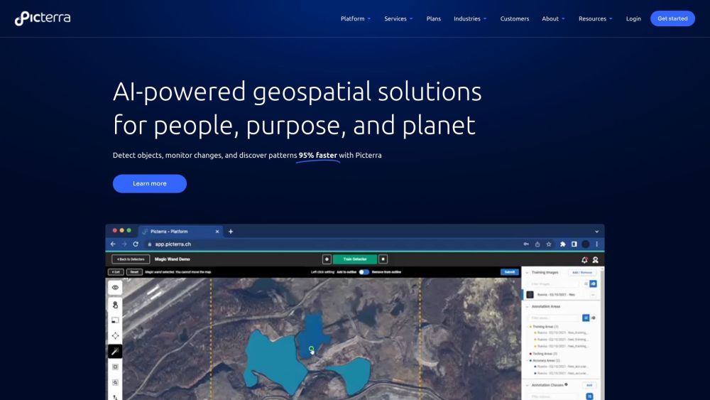
Picterra is an advanced software platform that utilizes machine learning models to power geospatial apps and business services. Our AI-powered solutions enable rapid detection of objects, monitoring of changes, and discovery of patterns in satellite, drone, and aerial imagery. With Picterra, you can achieve results 95% faster than traditional methods.
How to use Picterra?
Unlock the full potential of geospatial workflows with Picterra's cloud-native AI platform. Detect objects faster, optimize your processes, and drive sustainable action. Take advantage of our wide range of features, including imagery sourcing and processing, detector training support, change detection, tracking, monitoring, and customizable dashboards and results.
What industries can benefit from Picterra's geospatial AI solutions?
Picterra's geospatial AI solutions are beneficial for various industries. These industries include forestry and carbon markets, agriculture and regenerative farming, mining and quarries, infrastructure development, and FMCG (Fast-Moving Consumer Goods).
What are the core features of Picterra's platform?
Picterra's platform offers a diverse range of core features, including AI-powered geospatial solutions, training, deployment, and management of machine learning models, detection of objects, monitoring of changes, discovery of patterns in satellite, drone, and aerial imagery, and a cloud-native platform for optimizing geospatial workflows and driving sustainable action.
What can Picterra help me achieve in terms of efficiency and productivity?
Picterra empowers you to achieve unparalleled efficiency and productivity. Our platform delivers immediate impact, constantly evolving to enhance performance. What used to take months can now be accomplished in a matter of hours. Additionally, Picterra enables seamless collaboration and effortless sharing of results, driving scalability beyond boundaries.
