What is Earth Zoom Out AI?
Earth Zoom Out AI is the world's first AI-native platform engineered exclusively for generating scientifically grounded cosmic zoom-out videos—from a single photograph to Earth seen from orbit. Unlike generic video synthesizers, it doesn’t simulate scale—it *calculates* it: leveraging real-time satellite basemaps, high-resolution geospatial databases, and physics-aware deep learning models to reconstruct a mathematically coherent journey outward. Starting from your image—whether a café patio, mountain trail, or city skyline—the AI identifies geographic coordinates, infers terrain context, and renders a seamless, multi-scale ascent: street → district → metropolis → continent → planet. The result isn’t visual metaphor—it’s a navigable, geolocated voyage across planetary scales, designed to evoke awe, context, and quiet wonder.
How to use Earth Zoom Out AI?
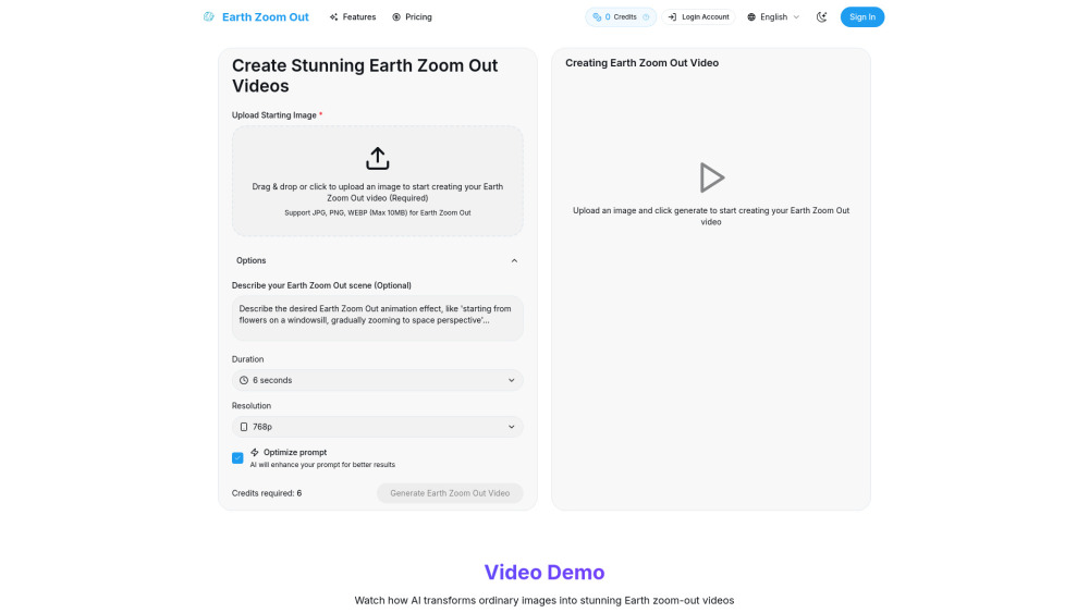
Creating your cosmic zoom-out video takes under 60 seconds. Begin by uploading any still image (JPG, PNG, or WEBP; up to 10MB). Next, refine intent: add optional location hints (e.g., “Tokyo Shibuya Crossing” or “Patagonian glacier”) or descriptive prompts to guide narrative emphasis. Choose your output specs—duration (5s–30s), resolution (1080p or 4K), and cinematic style (e.g., “orbital glide” or “astronaut view”). Behind the scenes, Earth Zoom Out AI cross-references your input with NASA’s Blue Marble, ESA’s Sentinel imagery, and OpenStreetMap topology to anchor every frame in reality. Within minutes, you’ll receive a downloadable MP4—ready for storytelling, sharing, or embedding—with full attribution-free commercial rights.